
Video Safety & Dash Cams
GeoX: Documenting a Collision From the Cab Before the Tow Truck Arrives
The insurer's first question after a collision is what happened, and the answer is usually assembled a week later from a driver's memory. GeoX is a MyGeotab add-in that walks the driver through documenting the incident at the scene — photos, location, the other party, statements, damage — and files it with the vehicle's telematics data for the claim.
The First Hour After a Collision
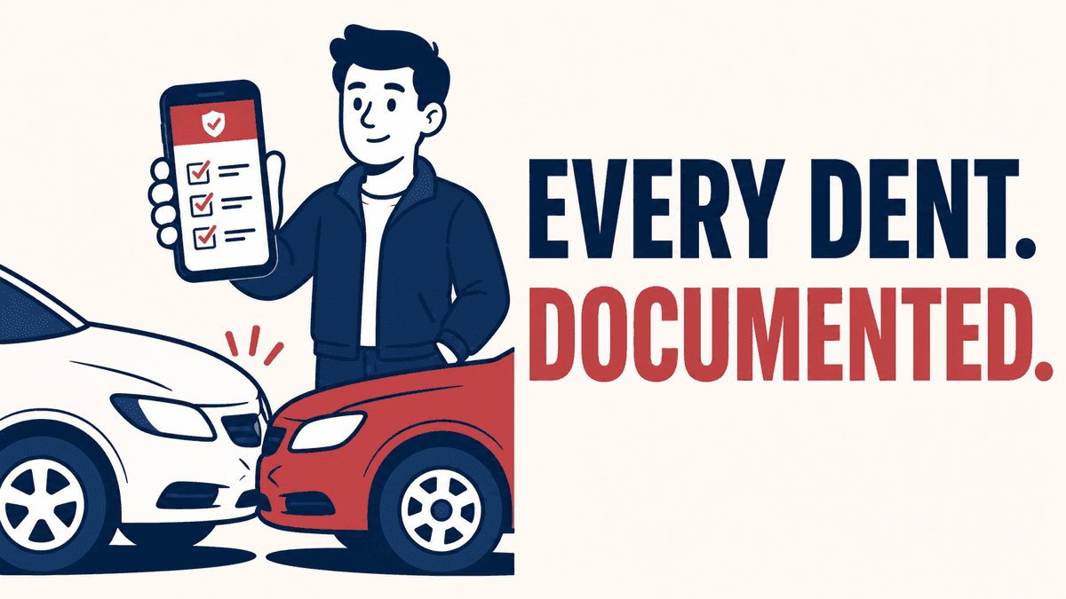
What a fleet knows about a collision is decided in the first hour, and it is the hour when the driver is shaken, the other party is talking, and nobody has a form. By the time the claims adjuster asks, the scene is gone and the account is a reconstruction. GeoX puts the form in the driver's hand: an add-in in the Geotab Drive app that opens a guided sequence — are you safe, photograph the vehicles, photograph the scene, record the other driver's details and insurance, note witnesses, describe what happened — and stamps each step with the GPS position and time.
What Gets Filed
The completed report lands in MyGeotab attached to the vehicle and the trip, beside the telematics record of the same minutes: speed, braking, the accelerometer's collision detection, and, where a camera is installed, the clip. A manager reviewing the incident sees the driver's photos and statement in the same view as the data that corroborates or corrects it, and can add a cost estimate and forward the package to the insurer. Nothing is emailed from a personal phone; nothing is lost in a glovebox.
Why It Changes Claims
Claims that are documented at the scene close faster and closer to the fleet's account of events, because the other party's version arrives after the fleet's, with photos. Not-at-fault claims are recovered more often. Drivers, who are usually the ones blamed by default, have a record that protects them. Insurers notice: a documented incident process is one of the things a commercial underwriter asks about at renewal.
Deployment
GeoX is installed into the fleet's MyGeotab database and appears in Geotab Drive on the driver's device. The fleet sets what the sequence asks for and where the report is routed. High Point GPS deploys it with camera systems for fleets in Quebec, Ontario and the northeastern US, and builds custom incident forms where a fleet's insurer or a client contract requires specific fields.
Frequently asked questions
What is GeoX?
A MyGeotab add-in that guides a driver through documenting a collision at the scene — photos, location, other party, witnesses, statement — and files the report with the vehicle's telematics data.
Does the driver need the office to start it?
No. It runs in the Geotab Drive app and the driver opens it at the scene.
Is the report linked to the dash cam clip?
Yes, where a camera is installed. The report, the telematics data and the clip for the same minutes sit together in MyGeotab.
Can the forms be customized?
Yes. The sequence and fields can be adapted to what an insurer or a client contract requires.
Does it help with not-at-fault claims?
Yes. Scene photos and the other party's details captured immediately are what recovery from the other insurer depends on.
Related solutions & products
Related terms
Continue reading
- Dash Cams & AI Video Safety overview →
- Asset Data Display: Ten Vehicle Metrics on One Panel in MyGeotab →
- GO Focus Plus: Geotab's Own AI Dash Cam and How It Coaches in the Cab →
- Do School Buses Have GPS? How School Bus Tracking Works for Districts and Parents →
- Who Owns Your Fleet Telematics Data? →
- More in Video Safety & Dash Cams →
Get a free quote
What are you looking for?