
Industry
GPS Fleet Tracking for Nonprofits & Community Services
GPS fleet tracking for nonprofits and community services: safer donated vans, volunteer driver ID on shared vehicles, and grant reports from the trip log.

Updated September 22, 2026
A community organization's vehicles do the work its mission promises: the meals-on-wheels van that reaches sixty homes before noon, the outreach vehicle that visits encampments at night, the food bank truck collecting from grocers, the shelter van that takes clients to appointments. Most of them were donated or bought used, most are driven by a rotating group of volunteers and staff, and every one of them shows up in a funder's report as kilometres, trips and people served. GPS fleet tracking for nonprofits puts those vehicles on one live map so a coordinator knows where the van is when a client calls, and it produces the records the organization currently assembles by hand. The GPS tracking device plugs into the diagnostic port and reports trips, stops and engine hours. An NFC driver ID reader on shared vehicles records which volunteer drove which trip. Maintenance reminders on engine hours and mileage, with fault codes from the engine, keep a twelve-year-old van on the road safely. Mileage reimbursement for volunteers using their own vehicles comes from the trip log instead of a notebook. At grant time, the kilometres, the stops inside client geofences and the hours of vehicle use are already in the High Point GPS platform, ready to export. High Point GPS sets it up for a small team with no fleet manager, and stays available when the coordinator has a question.
Common challenges
- Coordinators who cannot tell a waiting client or a worried family where the van is without calling the driver
- Donated and aging vehicles whose maintenance is tracked on a whiteboard, if at all, until something fails on a delivery run
- Grant and funder reports on kilometres, trips and clients served assembled from paper logs and memory at quarter end
- Volunteer drivers sharing keys across a week with no record of who drove which trip or how it was driven
- Mileage reimbursement claims that a bookkeeper cannot verify against any trip record
- A small budget and no fleet manager, which rules out anything that takes weeks to set up or a specialist to run
How High Point GPS helps
- Live location of every van and truck on one map for the coordinator, with the day's stops beside it
- Maintenance reminders on engine hours and mileage for each vehicle, with engine fault codes sent to whoever handles the shop
- Volunteer and staff driver ID through an NFC reader, so each trip on a shared vehicle is attributed to the person who drove it
- Geofences around client homes, partner sites and depots that record every visit with arrival and departure times
- Kilometre, trip and visit reports by program, by vehicle and by date range, exported for grant and funder reporting
- Trip logs that support mileage reimbursement and vehicle-use records without a paper logbook
- Driver scoring and optional AI dash cams, set to coach volunteers rather than penalize them
- Setup and training by High Point GPS for a small team, with ongoing support when the coordinator has a question
Knowing where the van is when a client calls
A meals-on-wheels client who has not received lunch by 12:30 calls the office, and the coordinator needs an answer. With every vehicle on a live map, the answer is that the van is four stops away and will be there in twenty minutes. The same map shows a shelter van still at the hospital with a client, an outreach vehicle that has not moved in an hour, and the food bank truck loading at a partner grocer. Geofences around client homes and partner sites record each arrival and departure, so a visit that was made is on the record and one that was missed is visible before the afternoon call comes in.
That visibility matters most for lone workers. An outreach worker parked at an encampment at 11:00 at night is on the coordinator's screen, and a vehicle that stops somewhere unplanned for longer than a set threshold raises an alert. Trips are stored on the GPS tracking device when coverage drops and uploaded when it returns, which keeps rural routes complete. High Point GPS configures the alerts and the map views around the programs the organization runs, not around a generic delivery template, and a coordinator can share a vehicle's position with a family member by phone in the same call.
Keeping donated and aging vehicles safe
A nonprofit fleet is often a collection of vehicles other people were finished with: a dealership's donated van, a retired municipal truck, a minivan bought at auction. They run because someone keeps an eye on them, and that someone is usually a program coordinator with a dozen other responsibilities. The GPS tracking device reads engine hours, odometer and fault codes from the vehicle itself, and the High Point GPS platform turns them into maintenance reminders by hours or kilometres for each vehicle. An oil change, a brake inspection or a winter tire swap comes up as a reminder instead of a memory, and a check-engine code reaches the coordinator or the volunteer mechanic the day it appears.
Electronic vehicle inspections in the driver app give volunteers a short checklist before a run: lights, tires, wipers, the wheelchair lift on an accessible van. A defect is time-stamped and routed to whoever handles repairs, and the vehicle's inspection history is on file when an insurer or a board member asks how the fleet is maintained. Fault codes and inspection records together tell the organization which vehicle to replace first when a capital grant finally comes through, and the service history goes with the vehicle when it is passed on to another agency.
Volunteer drivers, driver ID and reimbursement
Volunteers share vehicles across a week, and the keys move from hand to hand. An IOX-NFCREADERA reader in each shared vehicle lets a volunteer tap a card at the start of a trip, and every trip is attributed to that person from then on. When a parking ticket, a scrape in a lot or a complaint about a van's driving arrives, the coordinator knows who was behind the wheel without asking around. Driver scoring, set for a volunteer program, shows speeding and hard braking by driver in a report that supports a friendly conversation rather than a penalty, and an AI dash cam is available for the organizations that want the road-facing view.
Volunteers who use their own vehicles claim mileage, and a bookkeeper has traditionally taken the claim on trust. Where the organization supplies a GPS tracking device for the volunteer's vehicle, the trip log tied to the volunteer's ID produces the kilometres per trip, the stops made and the date. Reimbursement then matches the record, the claim is approved faster and the organization's auditor sees a trail. The same trip records show personal use of an organization vehicle when a board policy requires it, with the privacy settings High Point GPS configures with the organization before any device goes in.
Reporting to funders without a spreadsheet weekend
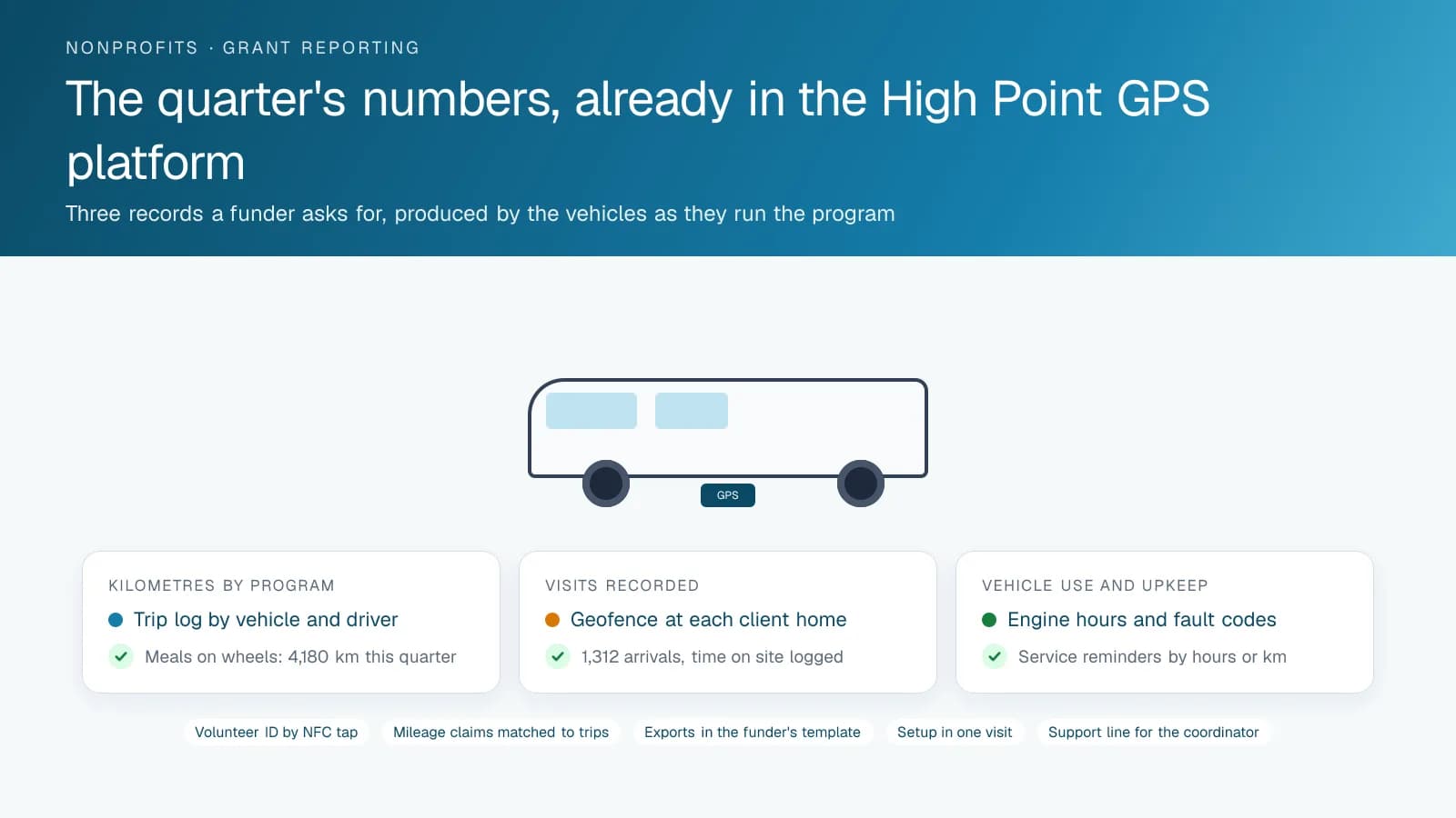
Every grant agreement asks for numbers: kilometres driven for the program, deliveries made, clients visited, hours of vehicle use. Those numbers live in the High Point GPS platform from the day the devices go in. A geofence at each client home or partner site counts visits; the trip log counts kilometres by vehicle and by driver; engine hours show vehicle use. A report grouped by program, when vehicles are assigned to programs in the database, gives the executive director a quarter's activity in a few minutes, with the option to send the same report to the funder on a schedule. For a food bank, the collection stops at grocers and the delivery stops at agencies are on the same record.
The organization decides what the report contains and who sees it. High Point GPS sets up the High Point GPS platform so the coordinator, the bookkeeper and the executive director each see what they need, and builds the exports the funder's template asks for. When the organization's case-management or donor system should receive trip counts, the open API delivers them. Setup takes a short visit and a training session. The support line is there afterward for the questions a small team has no one else to ask, whether that is a new geofence or a report a new funder wants.
Frequently asked questions
Is this practical for an organization with five vehicles and no fleet manager?
Yes. The GPS tracking device plugs into the diagnostic port and reports on its own, and High Point GPS configures the map, the reminders and the reports for the programs you run. A coordinator can learn what they need in one training session, and the support line handles the rest.
Can we tell which volunteer drove a vehicle?
Yes. An IOX-NFCREADERA reader in each shared vehicle lets a volunteer tap a card at the start of a trip, and the platform attributes that trip and every event on it to them. Trips without a tap can be flagged so the coordinator can follow up, and the driver list in the High Point GPS platform stays current as volunteers join and leave.
What can we give a funder from the platform?
Kilometres driven by vehicle, driver or program; the number of visits recorded inside client and partner geofences; trip counts by date range; and engine hours of vehicle use. Reports can be exported in the format a funder's template requires or scheduled to send automatically at the end of each reporting period.
Will it help us maintain older, donated vehicles?
It reads engine hours, odometer and fault codes from each vehicle, and the High Point GPS platform turns them into service reminders by hours or kilometres. A check-engine code reaches your coordinator or mechanic the day it appears, and electronic inspections in the driver app catch defects before a run rather than on the road.
How does mileage reimbursement work with it?
Each trip is logged with its kilometres, stops and date, and attributed to the driver through the NFC reader or the app. A bookkeeper compares a volunteer's claim to the trip record, and the organization keeps a trail for its auditor. Privacy settings are agreed with the organization before setup.
Related solutions
Related guides
- GPS Fleet Tracking for Small Business: What a 3 to 20 Vehicle Fleet Needs →
- Fleet Tracking for a Small Fleet: What Actually Changes →
- Maintenance Strategy for Aging Fleets →
- IOX-NFCREADERA: Driver ID by NFC Tap, So Every Trip Has a Name on It →
- How Geofencing Works for Fleet Tracking →
- Fleet Management for Beginners: A Fleet Manager's Starter Guide →
Get a free quote
What are you looking for?