
GPS Fleet Tracking & Telematics
Timeline Map: Replaying a Trip Minute by Minute to Settle a Dispute
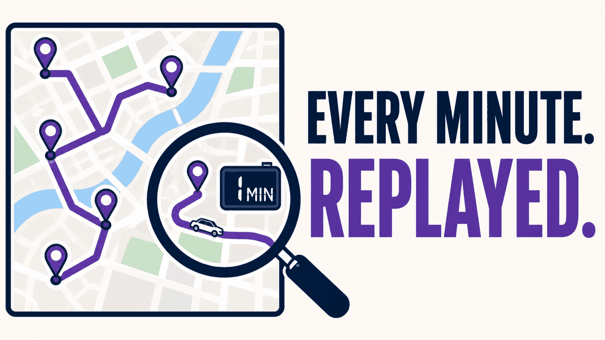
When a customer says the truck never came, a driver says they waited forty minutes, or a claim says the vehicle was somewhere it should not have been, the answer is in the trip data and the question is how fast you can read it. Timeline Map replays any trip as a scrubbable timeline with position, speed and status at every minute.
The Data Is There; Reading It Is the Work
MyGeotab stores every trip a vehicle makes, with position every few seconds, speed, stops and exceptions. Answering a specific question about a specific afternoon — was the truck at the address, when did it arrive, how long did it sit, which way did it leave — means opening the trip history, finding the right trip, and reading a table or a static line on a map. Timeline Map turns that into a replay: pick the vehicle and the day, drag a scrubber along a timeline, and watch the vehicle move with its speed, status and the exact time shown at every point.
What It Answers
Detention disputes: the scrubber shows the truck entering the customer's geofence at 8:02, stationary until 8:47, leaving at 8:48. Missed service: the refuse truck passed the address at 7:41 at 12 km/h, which is a truck that stopped for a bin, or at 40 km/h, which is not. Incident claims: the vehicle was two streets away at the time stated. Driver questions: the route home versus the direct route, with the stop at the plaza in between. Each answer is a screenshot with a timestamp rather than an exported table someone has to interpret.
Who Uses It
Dispatchers settling customer calls the same day; billing staff supporting a detention or wait-time invoice; safety managers reconstructing the minutes before an event; municipal supervisors answering a resident complaint about a plow or a collection truck. It is the tool people reach for when the question is about one vehicle on one day, which is most of the questions a fleet gets.
Setup
Timeline Map is a MyGeotab add-in installed into the fleet's database; it reads the trip data the GO devices already produce and needs no additional hardware or driver action. High Point GPS installs it as part of deployments for fleets in Quebec, Ontario and the northeastern US, and pairs it with geofences at customer sites so the arrival and departure times it shows are the ones on the invoice.
Frequently asked questions
What is Timeline Map?
A MyGeotab add-in that replays any vehicle's trip on a scrubbable timeline, showing position, speed, status and time at every minute.
Does it need extra hardware?
No. It reads the trip data the GO device already records.
Can it prove detention time?
Yes. Geofenced entry and exit times at the customer site, with the vehicle stationary between them, are visible on the replay.
How far back does it go?
As far as the fleet's MyGeotab data retention, which is typically at least a year of trip history.
Can I share a replay with a customer?
A timestamped screenshot of the replay is the usual way; the customer never needs platform access.
Related solutions & products
Related terms
Continue reading
- GPS Fleet Tracking & Management Software overview →
- Zone Visit Targets: Grading Drivers Against Time-on-Site Targets for an Objective Bonus →
- Bus Route Progress: The MyGeotab Add-In That Shows Which Buses Are On Route, Late or Parked →
- Public Tracking Portal: Giving Customers and Residents a Live Map Without a MyGeotab Login →
- DIDCOM Passenger ID: Recording Every Student or Employee Boarding With a Card Tap →
- More in GPS Fleet Tracking & Telematics →
Get a free quote
What are you looking for?