
GPS Fleet Tracking & Telematics
Bus Route Progress: The MyGeotab Add-In That Shows Which Buses Are On Route, Late or Parked
Bus Route Progress turns a map of dots into a one-glance answer to the question every transportation office asks at 7:40 a.m.: which buses are on route, which are running late, and which have not left the yard. Here's what the add-in shows, how it decides a bus is late, and how boards and contractors use it.
The Question It Answers
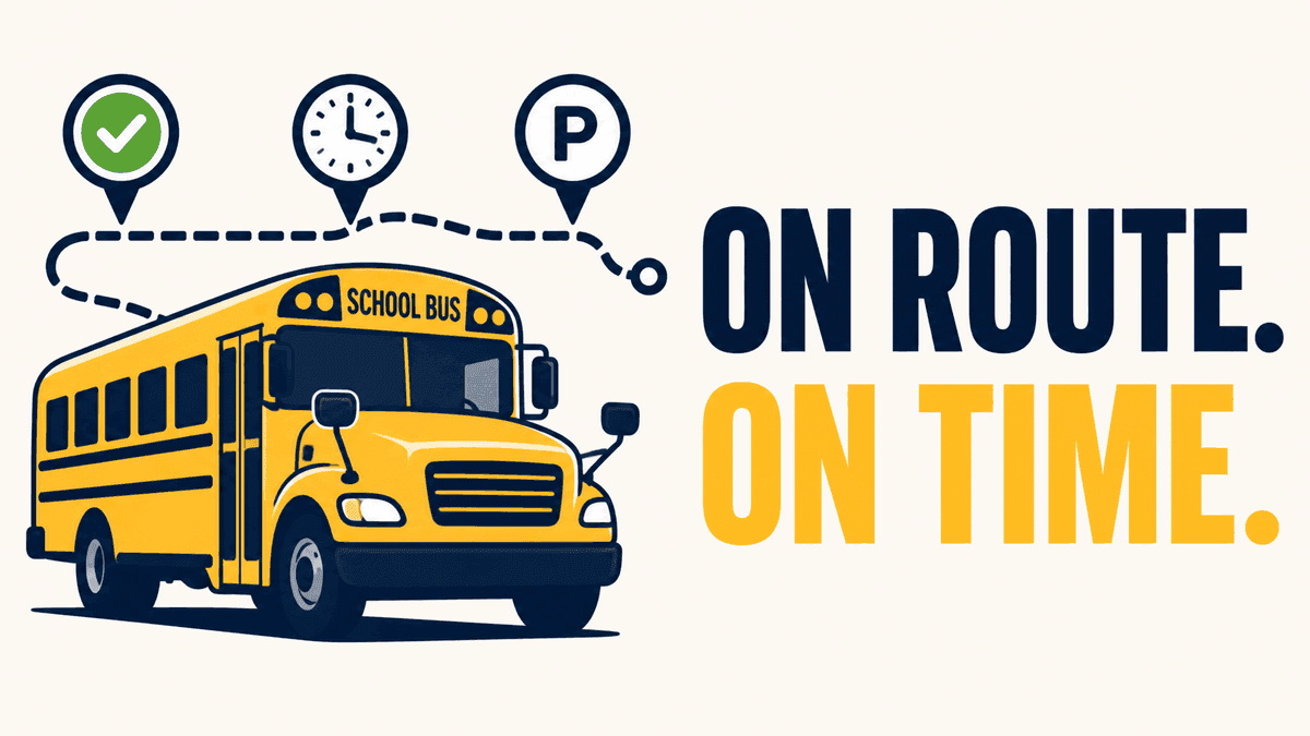
A live map with sixty buses on it is accurate and useless at the moment it matters. The dispatcher at a school board or bus contractor does not need sixty positions during the morning run; they need to know which routes are on schedule, which are behind, and which have not started, so they can call the driver, warn the school and answer the parent on the phone. Bus Route Progress is a MyGeotab add-in that reads the same GPS data and presents it as three lists: on route, late, parked. Each bus appears once, with its route, its last stop and how far behind schedule it is.
How It Decides a Bus Is Late
Each route is defined in the platform as an ordered set of stops with scheduled times, and each stop carries a geofence. As the bus moves, the add-in matches its position against the stops, records the time it entered each geofence, and compares that with the schedule. A bus that reaches a stop after its scheduled time by more than the tolerance the operator sets moves to the late list, with the minutes behind shown; a bus that has not left its start geofence after the route's start time shows as parked. There is no driver input, so the status is the same whether the driver remembered to tap anything or not.
Who Uses It
Transportation offices at school boards and consortia use it during the morning and afternoon runs, with the late list open on a second screen. Contractors use it to answer the board's calls and to prove on-time performance under a contract that measures it. The same on-time record feeds the parent app where one is deployed, so the parent's 'running late' notification and the dispatcher's late list come from one source. High Point GPS deploys the add-in as part of school bus telematics installations for boards and contractors in Quebec, Ontario and the northeastern US, and builds the route definitions from the operator's own schedules.
What It Needs
A GO device in every bus, route definitions with stop geofences and scheduled times, and the add-in installed in the operator's MyGeotab database. Routes change with the school year, so the operator or its reseller updates the definitions at each bell-schedule change; the add-in reads whatever routes are current.
Frequently asked questions
What is Bus Route Progress?
A MyGeotab add-in that groups every bus into on route, late or parked, based on its GPS position against the route's stop geofences and scheduled times.
Does the driver have to do anything?
No. Status comes from the bus's position and the route schedule, with no driver input.
How is 'late' defined?
A bus that reaches a stop after its scheduled time by more than the operator's tolerance, shown with the minutes behind.
Does it feed a parent app?
Yes, where one is deployed. The on-time record the dispatcher sees is the same one the parent app uses for late notifications.
What does it need to run?
GO devices in the buses, route definitions with stop geofences and times, and the add-in installed in MyGeotab.
Related solutions & products
Related terms
Continue reading
- GPS Fleet Tracking & Management Software overview →
- Can You Track a School Bus? What Drivers, Dispatchers and Parents Each See →
- Public Tracking Portal: Giving Customers and Residents a Live Map Without a MyGeotab Login →
- DIDCOM Passenger ID: Recording Every Student or Employee Boarding With a Card Tap →
- Do School Buses Have GPS? How School Bus Tracking Works for Districts and Parents →
- More in GPS Fleet Tracking & Telematics →
Get a free quote
What are you looking for?